Wednesday, February 13, 2013

I took my final exam for my Italian class this morning, and had most of the remainder of the day open.  The weather was mostly sunny, but a little chilly, in the 42 to 48 range.  I need to work on the course for the Gran Fondo coming up in a couple of weeks, so I did part of the course on the first part of the ride, then branched off for a ride I wanted to do.   I left home and took the Viales around town past Piazzale Michaelangelo to the turn for Tavernuzze.  I rode through Tavernuzze and stayed on the road for the climb to San Casciano.  Typically, I or we (the team), branch off to the right toward Greve, but the course for the Gran Fondo goes up to San Casciano.  After San Casciano, I took the left to Mercatale, then turned off for the road to Montefiridolfi.  A very fast descent, then a steep climb to the town.  I have to really watch the new bike, as it gets moving quite quickly.  

From Montefiridolfi, I took a ridge road through a couple of very small towns, then descend to the river valley around Bibbione.  At the valley floor, I take the main road back up to San Casciano.  During the Gran Fondo, we will be descending this portion.  From San Casciano, back through Spedellatto, Chiesa Nuova, then descend into Scandicci.  Through Scandicci to the Viales, then back home.  Nice to be out for more than an hour or two.  I need to step up the training if I want to have fun with the 130 kilometer course with lots of climbing.  

The garmin link is below, but the summary is:  39.3 miles in 2:53 rolling time for an average speed of 13.7, with 2840 vertical feet climbed at an average temperature of around 48.  I am always guessing on the average temp, as the garmin information always has temperatures at the beginning which translate into the temperature in the apartment.  


An old stone farmhouse on the San Casciano climb.


Winter vineyards in the Montefiridolfi area.
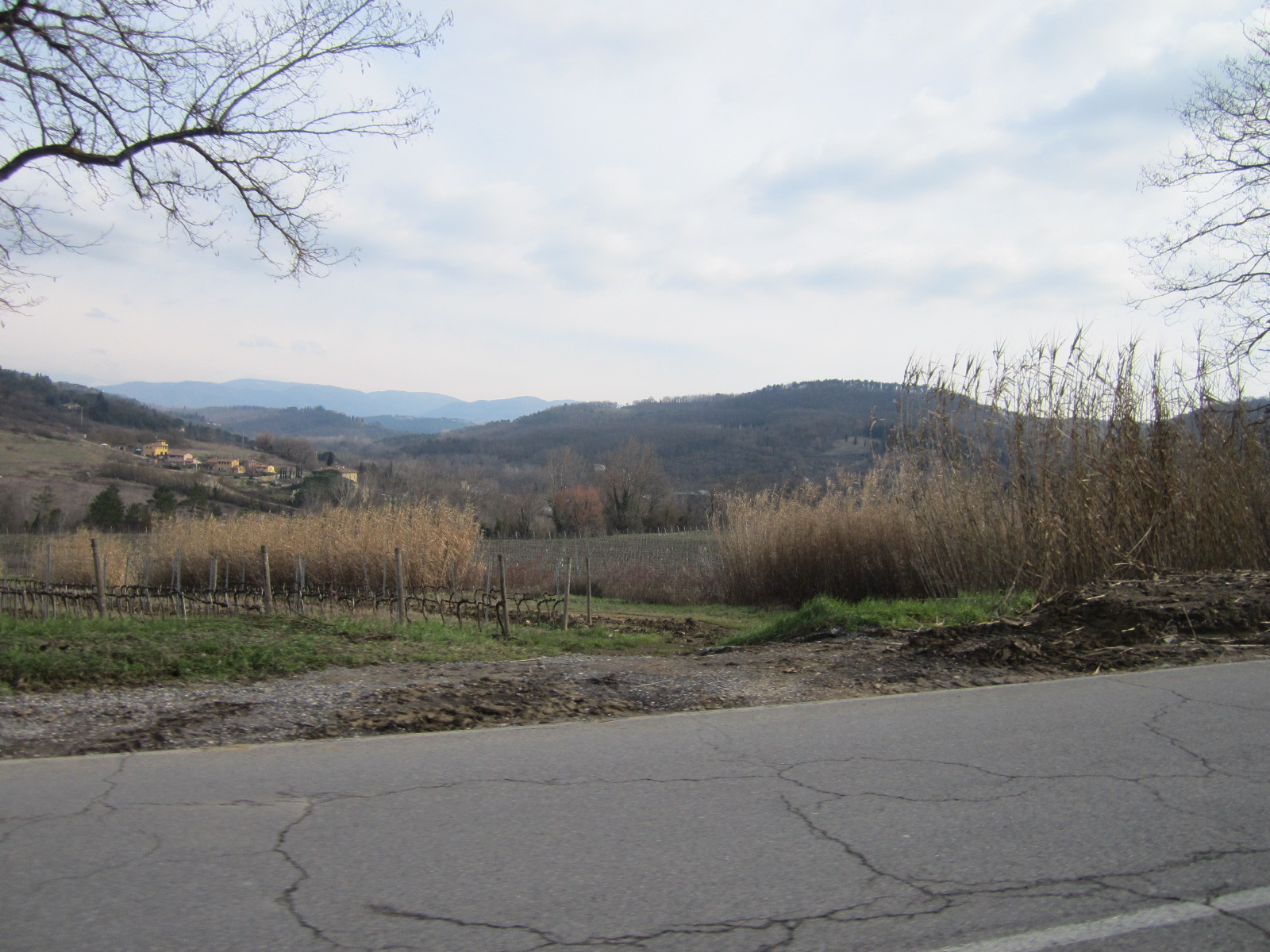

The view across the valley on the San Casciano climb.


An old stone farmhouse around Montefiridolfi.


View of a church and small town in the Montefiridolfi area.

Tuesday, February 12, 2013

Cercina, option 4 for return. by ridingwithcosimo at Garmin Connect - Details

First off, I forgot the camera, so, sorry, no pictures today.  I helped Ben to the airport and with the check in process this morning, then returned for the second half of my Italian class.  Tomorrow is the final test, then I will take a number of months off before resuming again, I assume next fall.  I need some time to assimilate everything I have learned and been exposed to, and hopefully, I will be getting busy taking out some tours.  Last week I had 5 inquires and signed up 3 groups for tours.  One additional one said they definitely wanted to do it, but has not booked with Vayable, a service that I use to market and book some tours.  It is best for me if I do it on my own, but the Vayable site is great and a wonderful way to market my services.  Thanks for the suggestion, Billy.  After class, off to the COOP for some groceries, then home and a quick change for  a quick ride.

I rode up Via Bolognese to the turn off for Cercina, and took the contouring / climbing road over through Cercina to the church above the town and decided on the descent which I will call option 4, as it is the fourth option to the west.  It is a truly spectacular descent and a really great route.  At the bottom, I climbed back up one of the other options to the back way into the Carriege complex.  From there, down, then the turn off for the back way up and over to the Piazza Giorgini area, then home.  Sweet ride.  15 miles in 1:14 rolling time for an average of 12.2 mph, with 1600 vertical feet climbed at an average temperature of 45.  Check the link for more information.  Ciao.

Cercina, option 4 for return. by ridingwithcosimo at Garmin Connect - Details

Sunday, February 10, 2013

A chilly, but nice afternoon ride.

I found a couple of hours to get out today, and had a great ride.  We have been super busy with our son, Ben visiting, along with some extra babysitting for Kate and Nicco.  I had a stomach bug a week ago, and it feels like it is finally truly leaving.  Yeah!  I got suited and booted, for chilly, but mostly sunny weather, and did one of my standard quick rides.  I rode up the back road to San Domenico, then up the Fiesole road to the Maiano turn off, taking the right and descending to Chiesa San Martino where you start the Vincigliata climb.  I love this climb, although I am sure it hits 15% at times.  My legs were a little sluggish, as my energy level is not where it should be due to the lingering stomach bug.  I enjoyed the climb, as always, and rode through Vincigliata up to the junction with the road from Compiobbi to Fiesole.  I turned toward Fiesole, continued climbing a little, then enjoyed the descent to Fiesole, turning right to descend to Pian de Mugnone.  From there it is a pretty main road home, mostly descending, through Piazza della Cure.  Another sweet ride.  

The summary is:  14.2 miles in 1:11 rolling time for an average speed of 11.9 mph, with 1660 feet of climbing at an average temperature of 43 degrees.  Here is the garmin link for all the specifics.  Ciao. 


Here are two views across the valley on the wonderful Vincigliata climb.


Friday, February 8, 2013

Nice get away ride during Ben's visit.

Our son, Ben is visiting for a week and one half, so I have not been riding, as he is not a cyclist.  We have been doing a lot of walking and sightseeing, which is surprisingly tiring.  For me, being on the bike is refreshing, even if it takes a fair amount of energy.  I had a stomach bug last Saturday night through Sunday night, which hit me pretty hard in the intestines.  Ben caught the bug yesterday night, and had a very difficult night with major stomach problems.  He was better when he awoke this morning, but was not up for any of our possible plans, so I got out for a ride.  

I rode up Via Bolognese to Pratolino, then took the back cut off to the Monte Morello road.  I had not been on the Monte Morello road for a couple of months, and it is really nice.  I continued up to the top of the road, close to the peak of Monte Morello, then descended.  After where I caught this road through 3/4 of the descent mileage, this is a really great, twisty, turny, well graded contouring road.  A really fun ride.  At a certain point of the descent, it gets quite steep, I would guess around 20% for probably 500 meters, then settles in at 10% for a series of really nice, tight switchbacks.  Today, I caught up with first one, then a second car on the switchbacks, and they were nice enough to slow down and wave me by.  Thanks.  I really enjoyed the new bike on the descent, it is really smooth and fast.  The descent ends at Sesto Fiorentino, then you take relatively busy roads back at the base of the area you just climbed / traversed / descended, back to the apartment.  

As always, super fun to be on the bike.  The garmin link is below, but the summary is:  21 miles in 1:38 rolling time for an average speed of 12.8 mph, with 2350 vertical feet climbed at an average temperature of around 45 degrees F.  Sweet!


Looking up the road around midway between the turn off at Pratolino
and the top of the road, right next to Monte Morello.


Looking back down the fun, twisty road from the same location.

Saturday, February 2, 2013

Saturday ride con squadra - San Casciano, Mercatale, Strada by ridingwithcosimo at Garmin Connect - Details

Our son, Ben arrives tomorrow.  Actually he was supposed to arrive tonight around 6, but a couple of late flights, and now he arrive tomorrow morning.  Today was my chance to ride with the team, and although the weather looked pretty marginal, I took off to join them.  We ended up having a really nice ride.  The rain chased us pretty much the whole time we were riding but never really hit us.  Only a few sprinkles here and there.  We rode a good part of the short route (80k) for the gran fondo coming up in early March.  The people who are in the racing division are doing the short course, which was most of the people who were on the ride today.

We started with 9, a really good number for early February with marginal weather, but these guys are dedicated cyclists.  At the start of the first real climb we were down to 7, and after the first climb we were down to 6.  Stayed at 6 for a while, but finished with 5, of whom I was definitely the slowest.  At least I hung in there.  The people who dropped just wanted to do a shorter tour or were worried about the weather.  I went out through Porta Romana, and rode the main road to Tavernuzze, where we met.  One person from the team, Paolo, whom I had not met before, joined me after Porta Romana and cycled out to Tavernuzze on my tail.  We all went from Tavernuzze toward San Casciano, the first real climb being the climb to San Casciano.  I have ridden all around this area, but had never ridden this main road climb to San Casciano.  It is a really nice road, and is on the Gran Fondo course.  From San Casciano, we rode up / over to Mercatale, Quattro Strade, then descended down to the Greve river valley.  We headed out to Passo dei Peccorai, then climbed up to Strada in Chianti.  From Strada, we really booked on a ridge road with a little climbing, then descended into Grassina.  From Grassina, we did a different route back into town than I had done before, which was nice.  I will have to check the map to get it in my head.

The Gran Fondo will do a lap to Fiesole, and one of us, Leif, decided to do this.  The  most interesting part of the course is a short stretch after Fiesole, after you descend to Pian de Mugnone, where you turn off on Via Salviati to climb to Via Bolognese for the descent back into town.  It is interesting, as you are basically done and they throw in a short detour with around 200 vertical feet at 20%.  I think it may be cramp city, but we shall see.  I see the organizers doing a "Mr. Burns" excellent and rubbing their hands together when they thought this up as part of the course.

Well, no pictures today, but the garmin link is below.  The summary is 41.8 miles in 2:56 rolling time for an average of 14.2 mph with 2520 vertical feet climbed at an average temperature of 55 F.  Sweet.

Saturday ride con squadra - San Casciano, Mercatale, Strada by ridingwithcosimo at Garmin Connect - Details

Friday, February 1, 2013

The weather was predicted to be rainy today, and waking up, it seemed to be on target.  It only sprinkled, misted really, for a little while, then it started to clear.  Well, I had a mostly open day, so I got it together and took off.  I rode out through the Cascine, the largest park in Florence, to a route that is mostly quiet back roads to a town called Signa, then through the town to Lastra a Signa, then climbed a small pass toward Ginestra Fiorentina.  At the top, I decided to ride over through Marliano to Vigliano, one of my favorite routes but I had never accessed it this way.  It was it's usual great climb.  It is a super quiet road, great scenery, and the skies really cleared while I climbed.  You climb to Santa Maria a Marciaola, then start a great descent to Scandicci.  I was really looking forward to the descent, as the new bike is super sweet on the downhills.  I started to go what for me is quite fast, around 60 kph (40 mph) then got hit with a side wind gust, which startled me and moved me sideways, so the remainder, most, of the descent I was pretty careful.  Still, really fun.  

Great ride, great weather.  The new bike is a gift I gave myself from my Mother's estate, and I am remembering her and kind of thinking she is along for the ride when I go.  So, thanks Mom, I am really enjoying the new ride.  Summary is 30 miles in 2:08 for an average of 13.8 mph, 1650 vertical climbed with an average temperature of 60.  Nice.  By the way, I had to be at Kate's to help with babysitting by 4:30, therefore the shorter ride today.  Here is the garmin link.


The beautiful road to Marliano.


Some of the scenery on the Marliano road.


More scenery from the Marliano portion of the ride.

Fun ride yesterday, great weather, lots of climbing

After class, I texted Emily that the weather was just too nice to meet with her friends for lunch and I was going for a ride.  I got ready, checked out the new bike, I just love to look at it, let alone ride it, and set off.  I rode out the viale to the road to Bagno a Ripoli, then climbed to San Donato in Collina.  I then descended through Troghi, Cellai, did the small climb to Pallazzuolo, then descended to the turn off on the west river road.  I rode along this road around half the way to Rignano sull'Arno, then took the small back road that climbs through Santa Maria to Bombone.  The pictures are from this climb.  There is one stretch at around 15% for around 300 vertical, which was difficult, but fine.  I definitely miss the 29 sprocket on the rear cassette, but the bike rides so nice it is totally worth it.  Perhaps I can find a 29 or 30 for the cassette.  From Bombone, I descended / climbed to Volognano, then descended to Rosano.

From Rosano, across the bridge to the outskirts of Pontesieve, then through Sieci to the turn for Monteloro.  The weather was holding, I love this road, and I guess I felt like an additional 1500 vertical of climbing.  The climb felt great, then I hooked up with the main road above Fiesole, then climbed to the L'Olmo road.  I descended through L'Olmo, Caldine, Pian de Mugnone, and back into town via Piazza della Cure.  The new bike really descends quickly and smoothly, I have to keep an eye on the speed, as it seems to want to get away from me a little.  The brakes do work well, thankfully.  The garmin link is below, but the summary is:  44.5 miles in 3:31 rolling time for an average speed of 12.6 mph, with 5050 vertical feet climbed at a wonderful average temperature of 58 degrees.  Fun!


Starting the climb to Santa Maria / Bombone.


A super green field on the climb.  It is the end of January.
I'm not in Crested Butte anymore.


The end of the difficult part of the climb.  Actually the stretch
before this one is the really steep part - approaching 20%.